
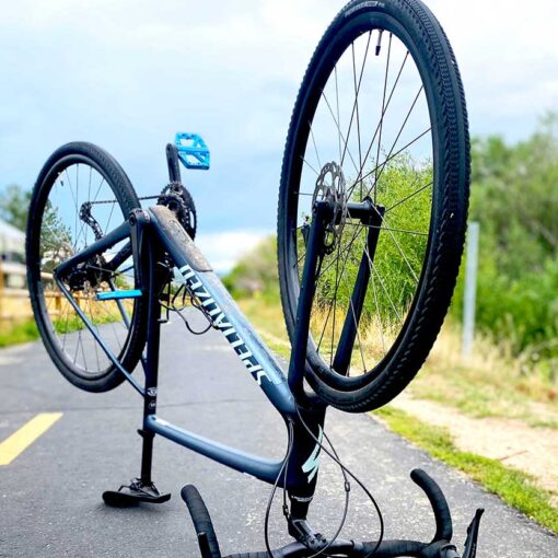
Recently, while reorganizing my spare bedroom gear closet, I got to drinking thinking. Does mountain bike season ever officially end? When should I break out all of my ski stuff? What if I get all of my ski stuff out but then it turns out bike season isn’t actually over? That would be a mess.
More specifically, what are the physiographic features of the Wasatch Mountains that make it so difficult to effectively organize and store my gear?
Now, you might say, “It’s because they’re mountains. Mountains have rapidly changing elevation, which impacts temperatures, weather…why are you writing a blog about this? You’re not even remotely qualified.” And you wouldn’t be wrong. In fact, you could argue that such a response answers my question in its entirety…negating the need for further analysis.
Further Analysis
After extensive Googling scientific research – undeterred by calls to relent on a project so “random” and “unassigned” – I was able to confirm some empirically neat facts. I’m a man of science now, so I’m obligated to share my findings. Please, consider the following.
Science name for different terrains Physiographic Features of Northern Utah
As it turns out, Park City’s location is slightly more unique than just “in the mountains.” It’s actually perched at the convergence of three very distinct landforms:
Rocky Mountains
Park City is in the Wasatch Mountains, which are a branch of the Middle Rocky Mountains province of the greater physiographic division known as the Rocky Mountain System. At 3,000ish miles long, the Rocky Mountain System reaches from British Columbia to New Mexico. This sprawling range is the result of mountain-building forces (“subduction”) caused when other plates started undercutting the North American Plate way over on the Pacific Coast. This occurred roughly around the period known as Dinosaur Times.

The Salt Lake Valley, while only 15ish miles west of Park City, is located in the Great Basin section of the Basin and Range Province (Intermontane Plateaus division.) The Basin and Range Province is the result of earth-stretching forces (“tectonic extension”) somehow happening in between here and California. The Great Basin within this province itself covers some 200,000ish square miles and is the largest closed basin in North America, meaning it isn’t connected to the ocean in any way. Parts of it used to be a giant lake, but now it’s mostly just a salty desert.
Also, between the Great Basin and Middle Rocky Mountains lies the Wasatch Fault (i.e. between Park City and Salt Lake) – capable of producing an (overdue) 7.5-magnitude earthquake. Which, scientifically speaking, is terrifying.
Colorado Plateau
The Heber Valley is 15ish miles southeast of Park City, yet it’s pretty much part of the Uinta Basin of the Colorado Plateaus province (same Intermontane Plateaus division.) The Colorado Plateau – home to nine National Parks and one Goblin Valley – is a solid tectonic block centered on the Four Corners region of Arizona, New Mexico, Colorado, and Utah. Over quite a few hundreds of millions of years, it has developed a reputation for unflinching geologic stability, especially when compared to its growing, stretching, verge-of-earth-quaking neighbors.
So, to recap the past 600-millionish years in no particular order: the Rockies grew, the Great Basin stretched, and the Colorado Plateau just planted. Three distinct landforms with three distinct styles.
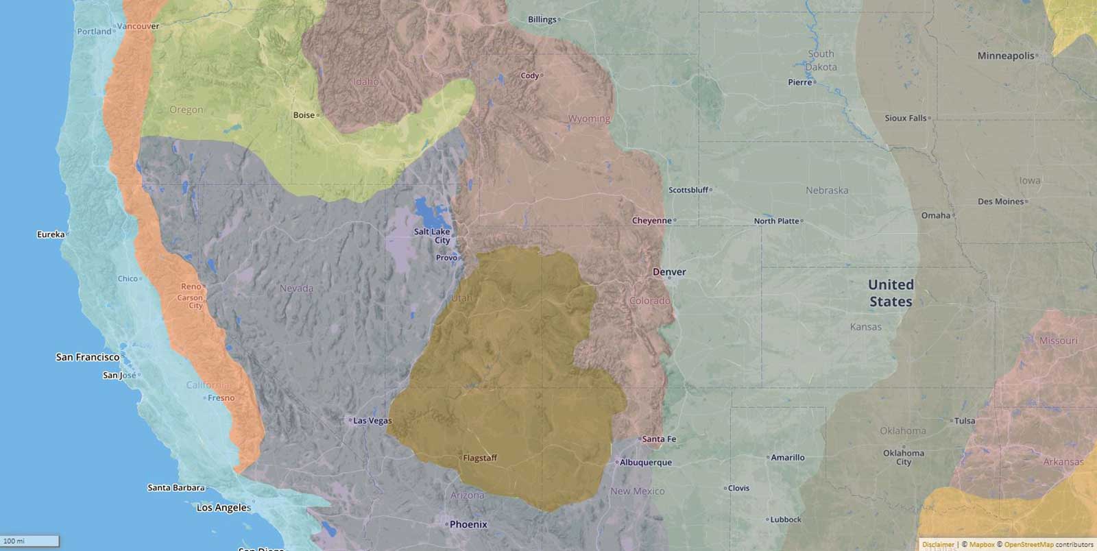
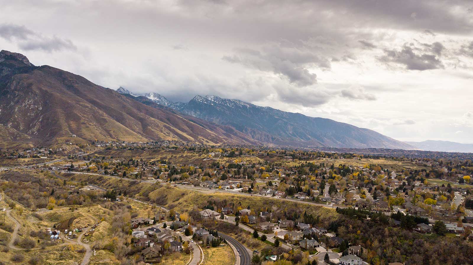
All of this is a really long-winded way of saying that Park City is perched on a Rocky Mountain outcrop above the Great Basin and Colorado Plateau. Which means, for example, when you descend from Park City in search of warmer or dryer conditions to bike, fish, hike, or whatever, you’re actually heading toward entirely distinct physiographic provinces – landforms that collectively span the United States north to south, and all the way to California. The Wasatch Front and Back that make up Park City’s surrounding outdoor playground are in fact steep shelves that mark the physical boundaries between one of the longest mountain ranges in the world (3rd), the largest closed basin in North America, and a solid, immovable block of National Parks.
That’s pretty neat.
Choose Your Gear, Choose a Physiographic Province
Say it’s November, and it’s starting to snow in Park City.
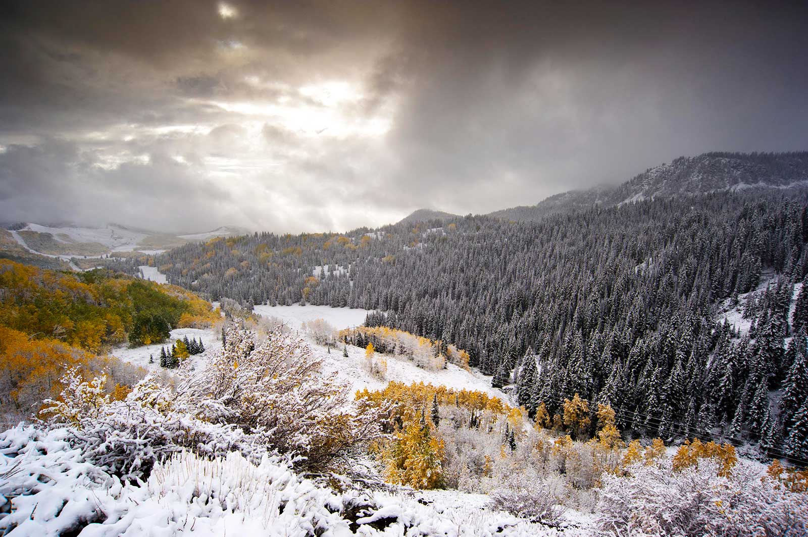
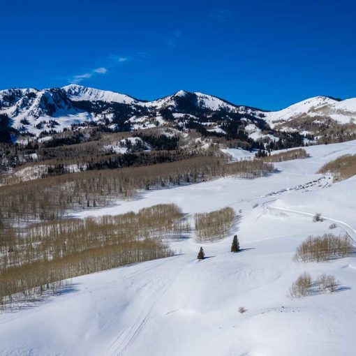
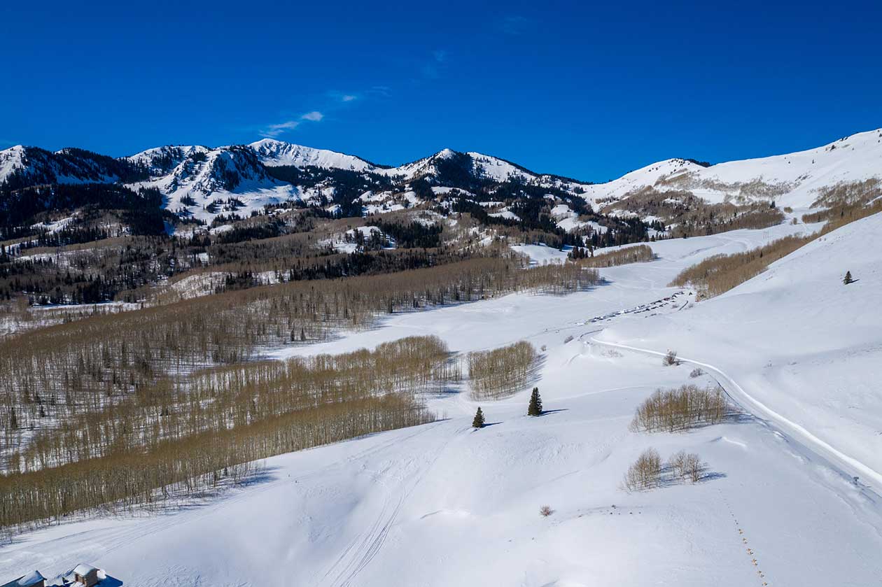
Want to ski? Head further up into the Middle Rocky Mountains where crest lines over 10,000 feet could have plenty of snow.
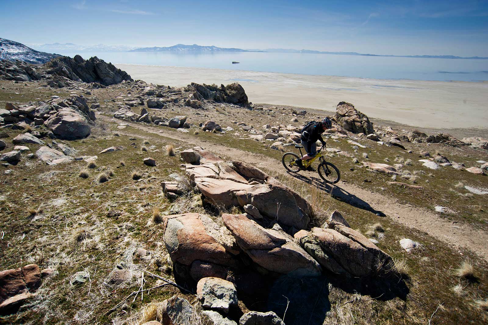
Want to bike? Head 3,000ish-feet (30ish-minutes) down to the Great Basin where a giant saltwater lake that never freezes over helps moderate surrounding temperatures.
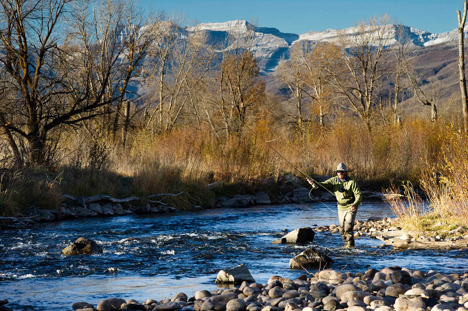
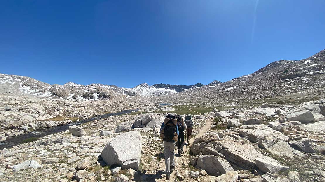
Want to fish? The Colorado Plateau is loaded with rivers and streams chiseled by year-after-year of mountain runoff – they’re reliably fishable year-round.
What is the Point of This?
The point, I guess, is that the rapid elevation change (and resulting climate changes) of this region mean that living in Park City you can manipulate your “season” in a car ride of 30 minutes or less. Which again is basically just describing a facet of mountain-living that you already knew. But what you might not have known is that those car rides are happening at the convergence of three massive, wholly unique landforms. It’s the outdoor recreation trinity of Rocky Mountains, Great Basin, and Colorado Plateau. We’ll call it, Zona radicalis.
Now if you’ll excuse me, I have a think to finish.
Produced in association with the National Science Foundation
For more information, check out these additional resources:
National Park Service Province Maps
Scientific Journal of Wikipedia
Nate Tomlinson, Senior Science Guy