We all know and love Park City’s huge non-motorized trail network. There are too many classic rides to list in one blog, and the community continues to support new trail building. But that’s just one side of Summit County. On the east side of the county, butted up against the foothills of the Uinta Mountains, lies the Kamas Valley, which is quickly getting on board with building more trails for bikers, equestrians, and hikers.
The South Summit Trails Foundation is a big driver in this push for more trails. And by partnering with private landowners, the U.S. Forest Service, and other groups, they’ve been able to advocate for, and build, new public access trails. A significant recent achievement was the development of the Slate Creek mountain bike trail in the Uinta mountains. But that isn’t it—places like High Star Ranch and the Oakley Trail Park provide excellent mountain biking and hiking. Plus, other established trails like Bench Creek offer more rugged opportunities to explore. So let’s break it down.
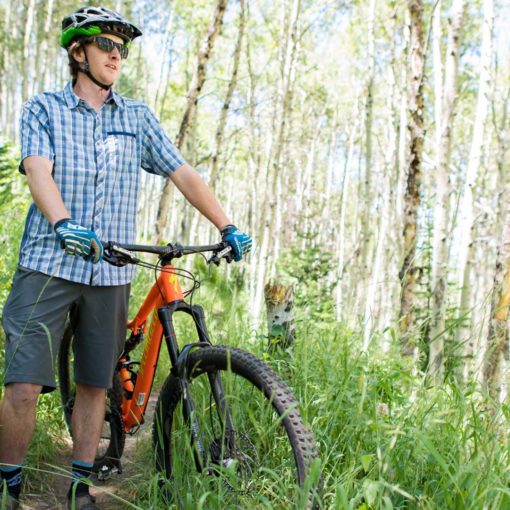
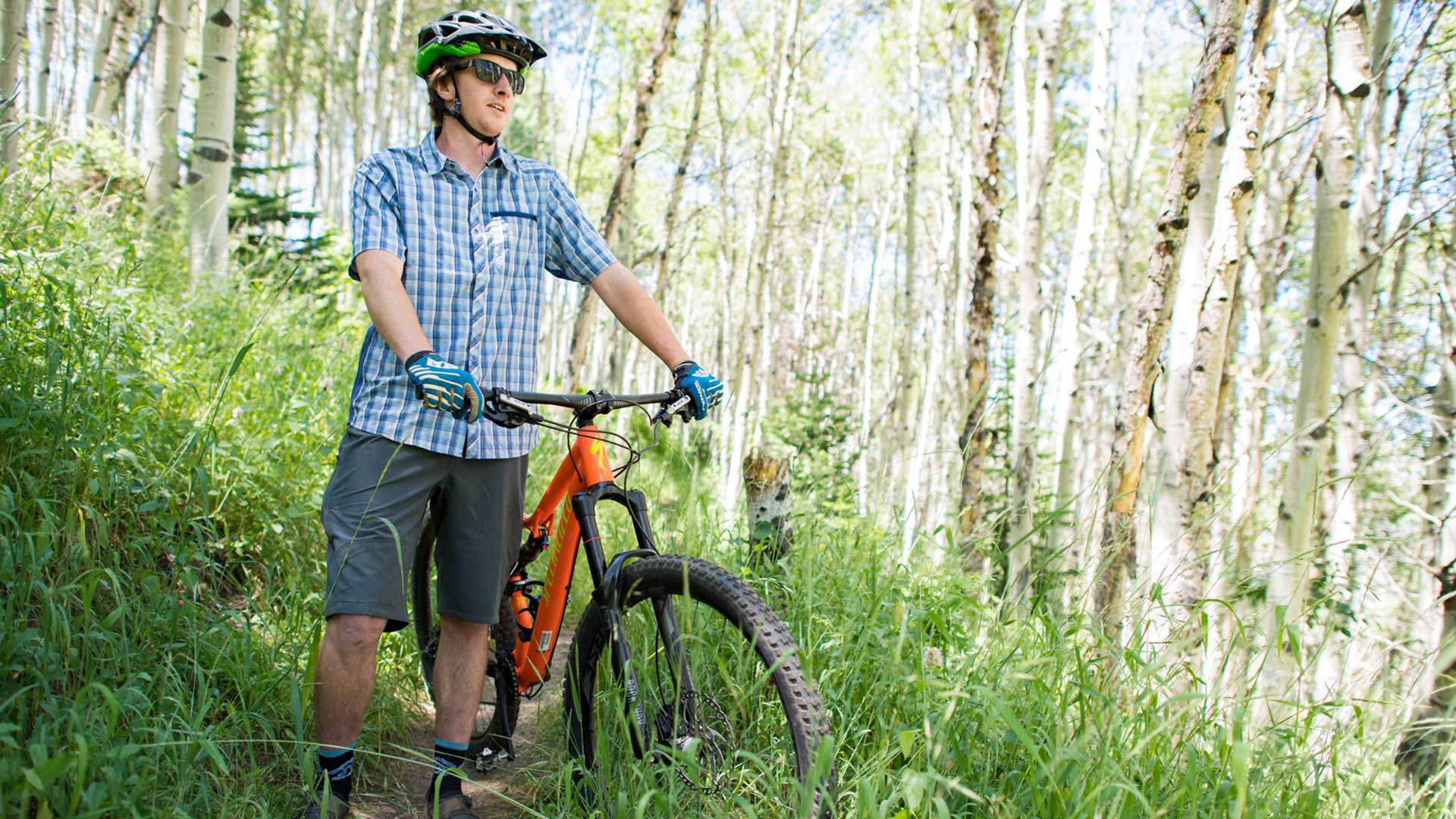
High Star Ranch
This is probably the easiest bike park to reach in the Kamas Valley. Right off of S.R. 32 and only a minute from Kamas by car, you have a plethora of directional bike trails right at your fingertips. There are five downhill-specific trails of varying difficulty plus a couple extra loop options that combine the multi-directional climbing trails. You could easily put together a 20 mile ride by combining loops.
*High Star Ranch trails are closed for the 2022 riding season due to construction. If we get any information on a reopening, we’ll update this blog as well as our social media channels.
Ride Recommendations: Bad Hombre and Whip It

Oakley Trail Park
This bike park has a few really great short downhill-specific trails with wide, meandering climbs. This allows you to make a lot of laps on some really fun terrain. And there is a fair amount of variety of flow and tech with some nicely built jumps peppered in. The Oakley Trail Park is a bit of a work in progress and isn’t ridden very much, which leads to some vegetation overgrowth. Personally, I think that makes it pretty fun. And if you’re looking for a real challenge, just above the park is the Oakley Trail. This STEEP out and back is best suited for hiking. But if you want to push yourself on a bike, give it a shot.
Ride Recommendations: Barrel Racer and Skills A

Uinta Mountains
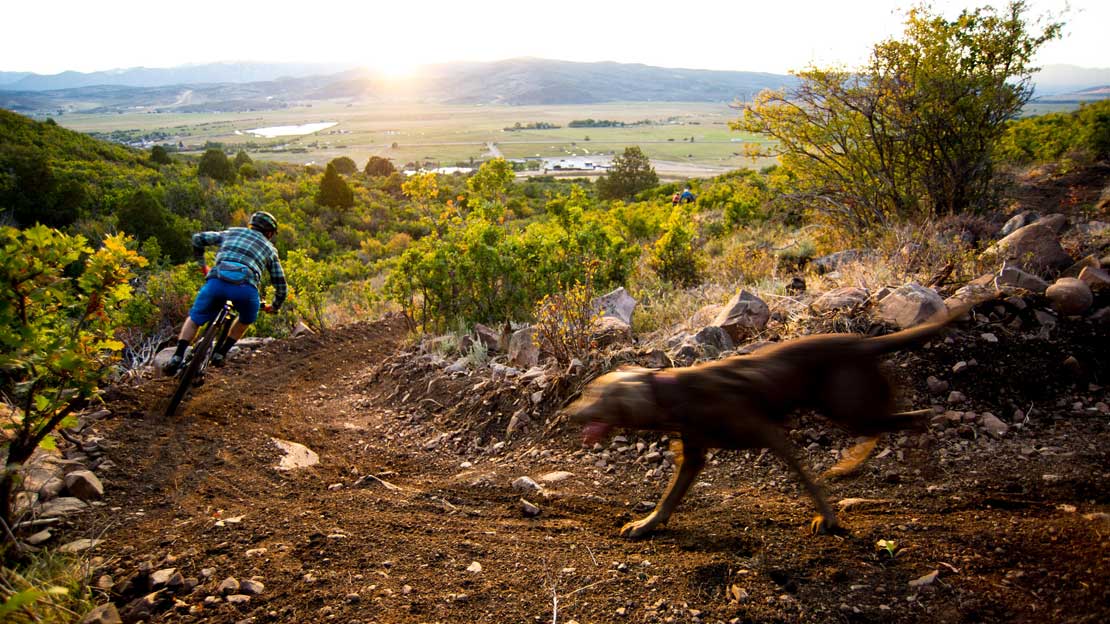
One of the newest trails that I’m excited to write about is Slate Creek in the Uinta Mountains. If you’ve ever been up Mirror Lake Highway (H.W. 150) then you know that you’re in for a scenic treat. Starting at the Yellow Pine Trailhead, Slate Creek is a mellow directional 5.4 mile loop that a strong rider could lap a few times in a row. The trail features tons of mixed terrain like cool stream crossings, rock gardens, berms, and small jumps—you name it. And the views down the drainage are gorgeous.
Aside from that, the Uintas have an insane amount of trails and roads. These are more rugged and are not necessarily machine-built or maintained. However, the established trails wind up and down incredible valleys in a scenic national forest. Most of these trails are really “out there” and require the use of maps or GPS for route finding. There is cell service so an app like Trail Forks makes it easy to stay on track.
Top it off with a beer and burger at The Notch Pub on Mirror Lake Highway. This local watering hole is tucked into the foothills of the Uintas in the town of Samak and is the perfect spot to kick back and talk about your ride.
Ride Recommendation: Slate Creek and Bench Creek

Stevens Grove and Franson Lane
These two trails are more hiking and equestrian friendly but you can bike them too. They are flat and winding, and both offer access to the Weber River. Franson Lane in particular offers some nice fishing access. These are short loops, no more than a few miles. And both are great spots to walk your dog. If you’re on a gravel ride, these are great loops to add some extra mileage. But on a mountain bike, you may not have so much fun.


Let’s Wrap it Up
Yep, the east side of Summit County is brimming with singletrack, and some very focused groups are carving out space for more! There is lots more to discover, too. The Kamas Valley has a variety of walking paths and roads open to hikers and bikers—something for everyone! Summit County as a whole likely has more than 500 miles of non-motorized trails and paths. And the communities here are on board for building more! All of the rides and loops mentioned above, aside from Franson Lane, can be found on the Trail Forks app. If you’re feeling something different, come check out the east side of Summit County and the Kamas Valley.
Want to support trail building in Summit County? Join the South Summit Trails Foundation or Mountain Trails Foundation, attend dig days, or just get out on the trails and pick up trash. It all helps!

By Paul Boyle, Ecommerce Manager, jans.com
Additional Links